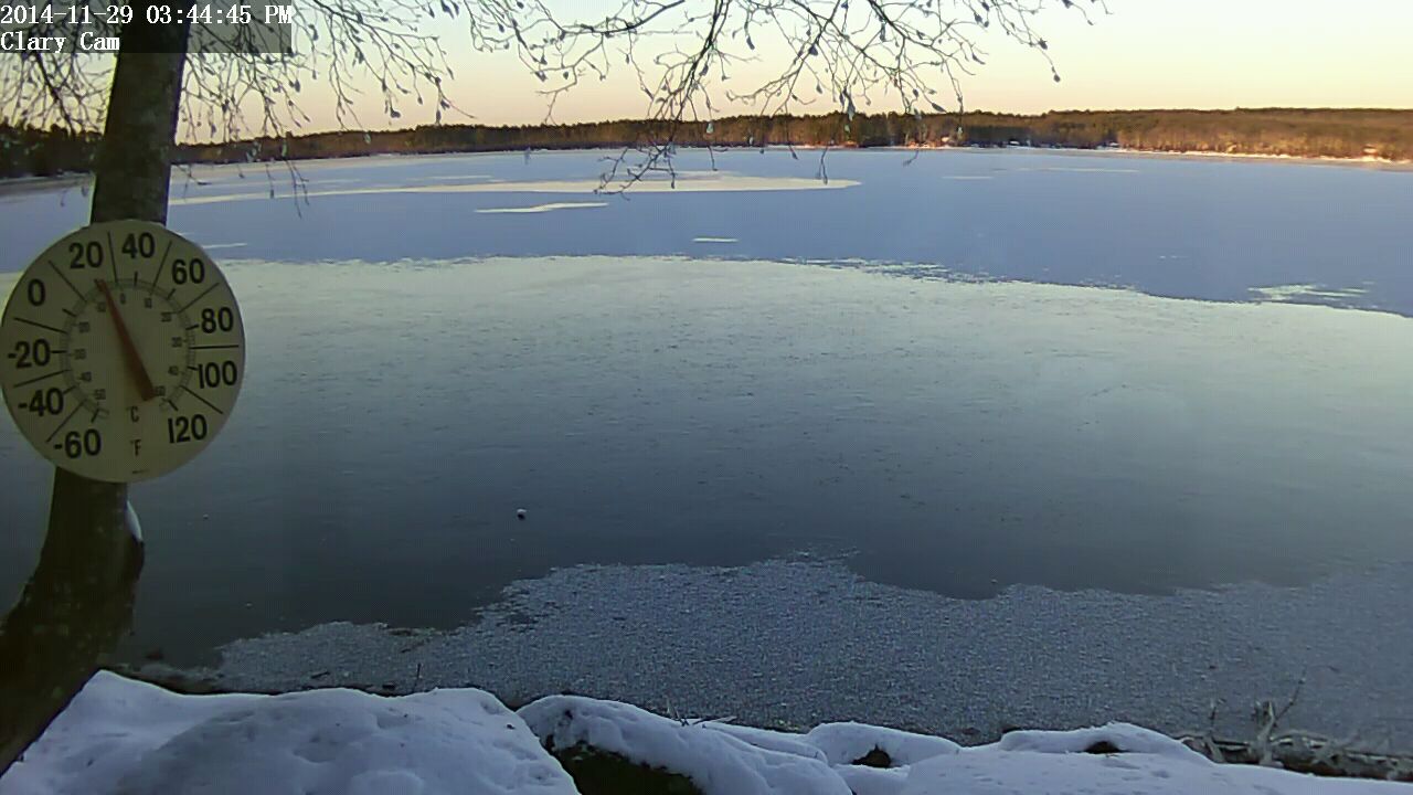
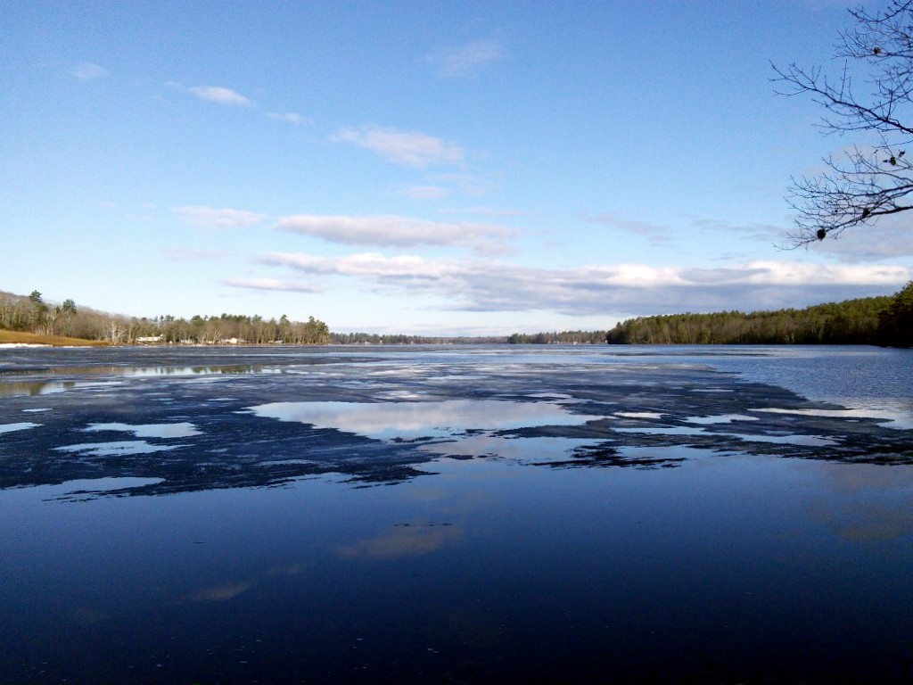
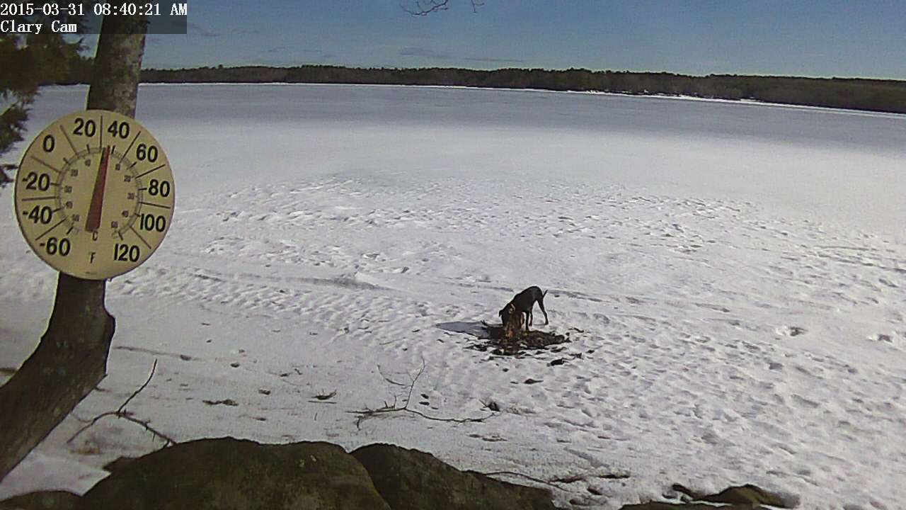
 Water quality monitoring for 2015 resumed on April 30th. David Hodsdon and I tried to get out the previous week but the wind was so strong my anchor was dragging and we couldn’t stay in one place. This date is about average for the first data collection exercise of the year. We’ll try to get out every 2 weeks throughout the boating season. This also marks David Hodsdon’s 40th consecutive year of water quality monitoring for the VLMP. Quite a record!
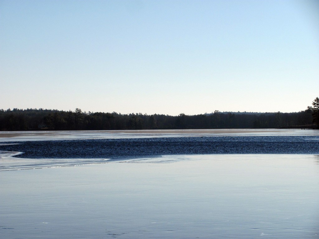
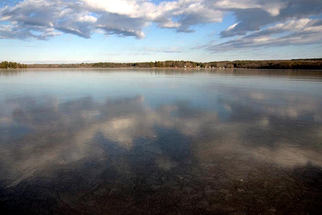
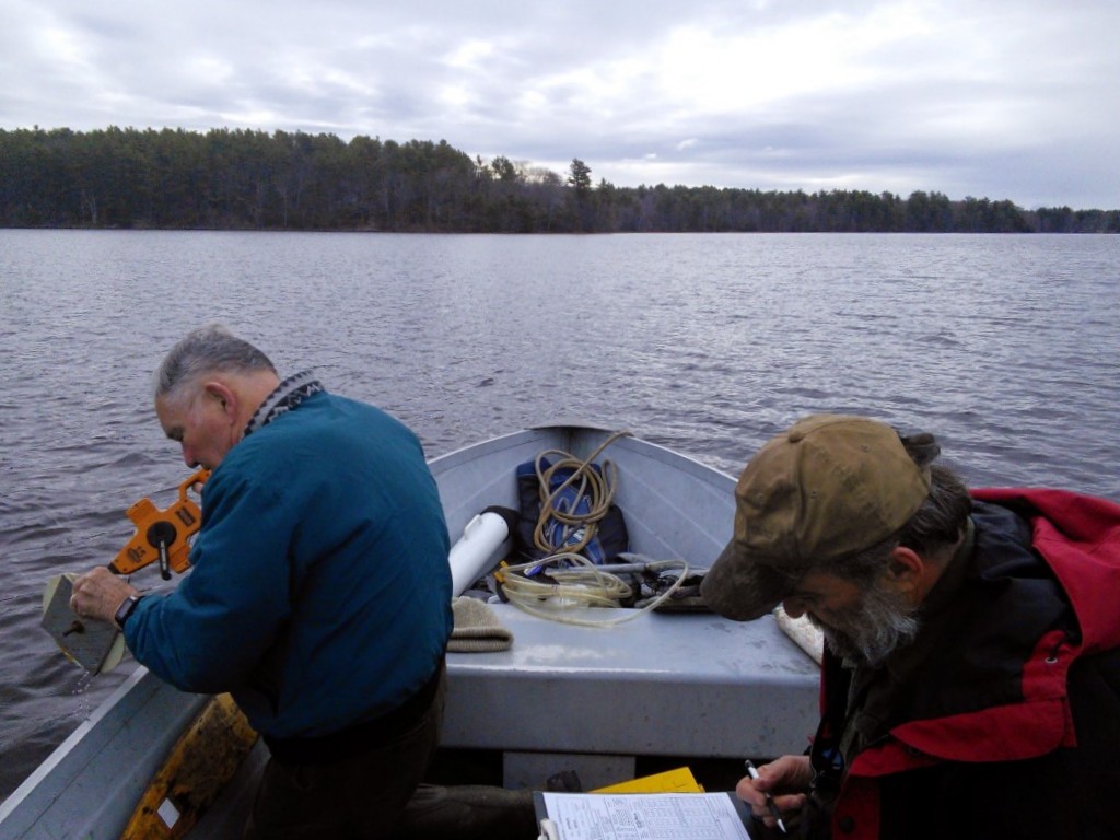
The water was quite clear with a secchi disk reading of just over 11 feet. You can view current data and that for recent years on our Clary Lake Water Monitoring Data page (we also have data back to 1975 when David Hodsdon started his water quality monitoring efforts, available upon request). Our collection station is over the “deep hole” which we locate with a GPS and the data we normally collect includes air temperature and wind speed, water depth, clarity (secchi disk reading), and dissolved oxygen and temperature measurements at the surface and at 1 meter increments all the way to the bottom of the lake. Approximately 3 times per year we take a core water sample for phosphorus which we send off to the State for analysis. We took one this time.
You can read more about the VLMP and our water monitoring efforts on the Volunteer Lake Monitoring Program page.


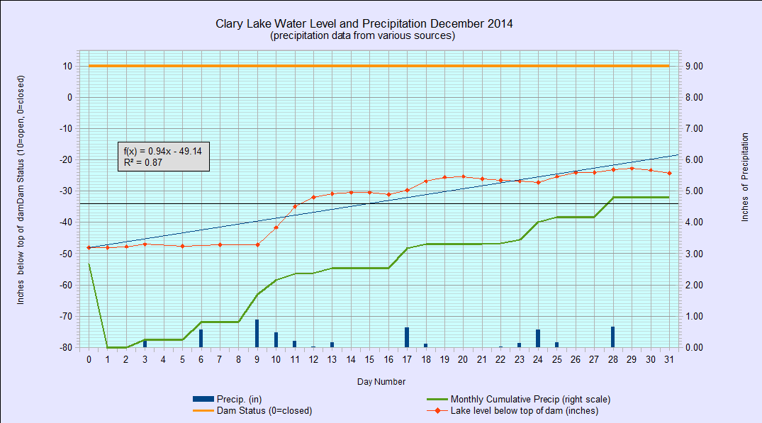
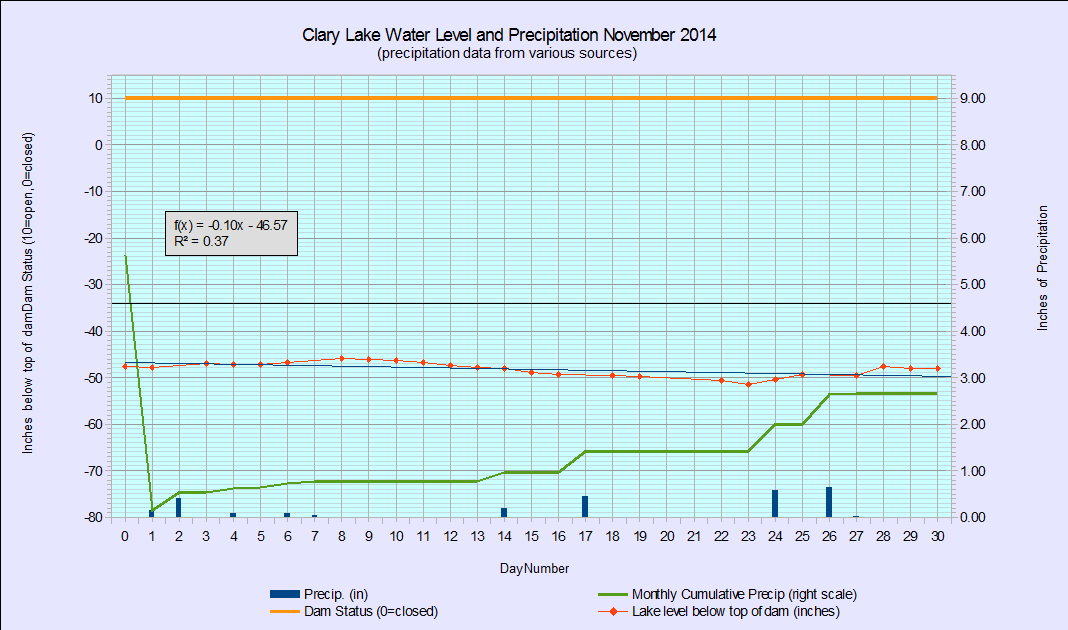
.jpg) Paul Koenig of the Central Maine Papers (Kennebec Journal, Morning Sentinel) has written an article that appeared in this past Saturday’s paper. There has been precious little news in recent months about the Clary Lake water level order and the ongoing mediation. Sadly, while it is good and generally accurate reporting, there’s not a lot of new information in the article.
Paul Koenig of the Central Maine Papers (Kennebec Journal, Morning Sentinel) has written an article that appeared in this past Saturday’s paper. There has been precious little news in recent months about the Clary Lake water level order and the ongoing mediation. Sadly, while it is good and generally accurate reporting, there’s not a lot of new information in the article.