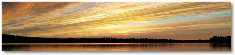
I received the following email today sent by Clary Lake shore owner Jean McWilliams to Beth Callahan of the Department of Environmental Protection. Jean has every reason to be upset. We all do. One does have to wonder what the DEP is waiting for: the lake can’t get much lower.
September 29, 2014
Dear Ms. Callahan:
I am writing as a waterfront property owner on Clary Lake. I want to share my prospective as a resident on Clary Lake who has enjoyed this (previously) unspoiled lake for over 20 years.
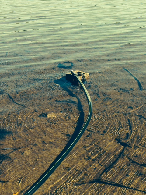 This past weekend was warm and glorious and I planned to spend the weekend at our camp. Imagine my surprise when upon starting the water pump, there was no water. The first enclosed picture shows why; the water line was fully out of the water. I have already extended the line once since the near draining of the lake. Apparently my family won’t be able to use the camp for the rest of the season, thanks to Paul Kelley’s actions.
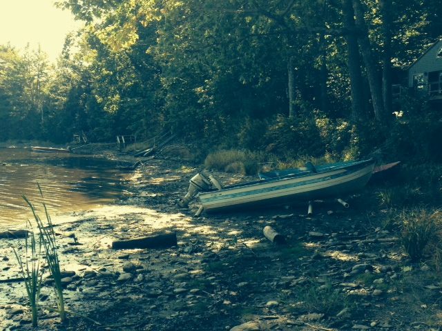 I’ve also attached a picture of my neighbor’s boat, high and dry as you can see. I am now 66 years old and have always planned to sell the camp in order to retire. As you can well imagine, property on Clary Lake is not exactly in demand. So much for retirement, and again, thanks to Mr. Kelley. I am simply stunned that this situation has continued for over 3 years. The DEP has issued a water level order. Mr. Kelley has ignored it. He clearly does not care about the environmental, economic and recreational damage his actions have caused. I strongly urge you to enforce the water level order and insist that Mr. Kelley follow the law. The blatant actions of this man are unacceptable and I ask that you enforce any and all regulations broken by Kelley.
Sincerely,
Jean McWilliams
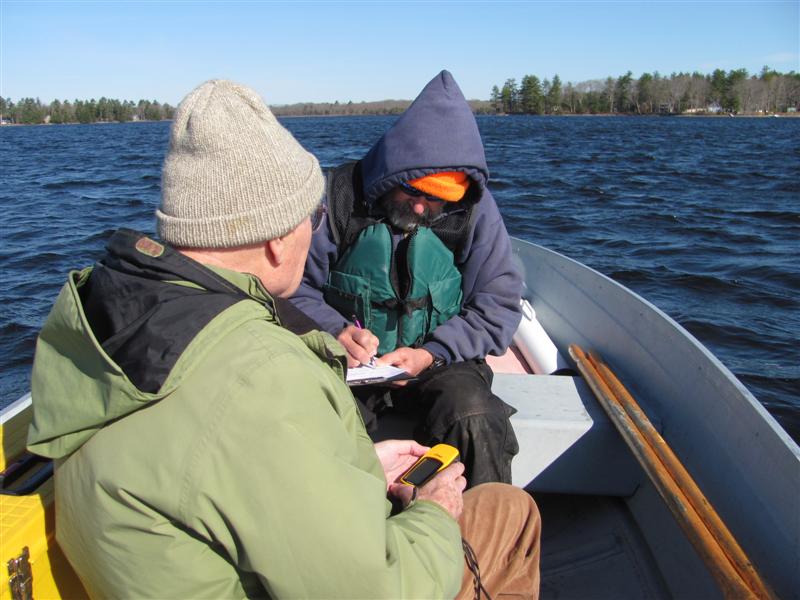
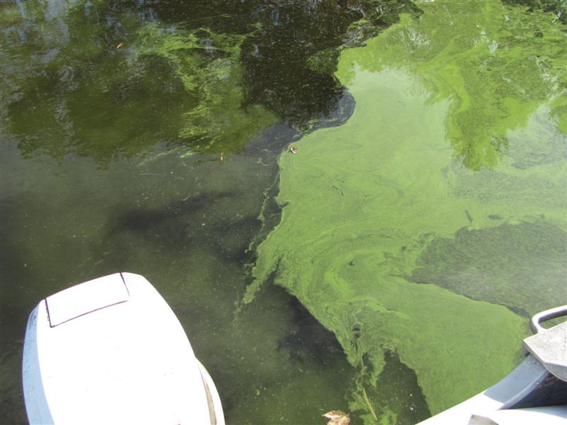
 Jack Holland and I performed out bi-monthly water quality monitoring boat trip this morning and obtained a secchi disk reading of 1.80 meters (5.9′) indicative of an algae bloom in progress. This does not come as a huge surprise since we’ve entered a bloom state about this time of year for the past 4+ years. Still, it was an unpleasant discovery. I’ve posted today’s data on the
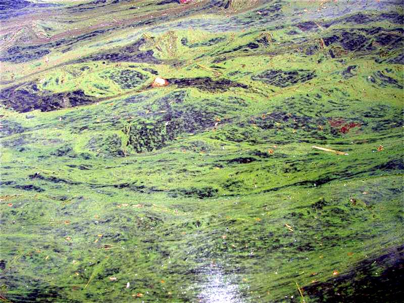
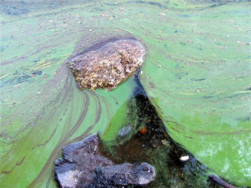
 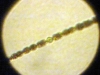 Algae blooms are caused by the out-of-control growth of blue-green algae known as cyanobacteria. The most common cyanobacteria is Anabena, shown at left. Algae feeds primarily on phosphorus washed into the lake by runoff and released from bottom sediments in low-oxygen conditions. Undoubtedly the 7.65″ of rain and the resulting runoff we received in July contributed to this bloom, but the lower water levels resulting in reduced lake volume and sediments exposed to wave action and erosion certainly didn’t help any. Here are some pictures of what we can look forward to in about 2 weeks:
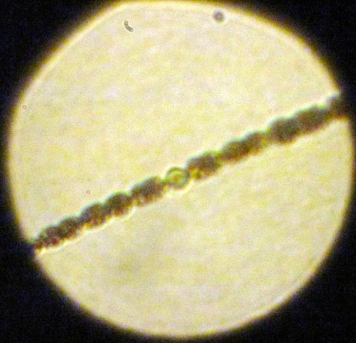
 David Hodsdon makes the official determination of ice-in and ice-out on Clary Lake and according to him, ice-out occurred sometime between 4 and 5 pm on April 14th. His criteria for ice-out is all the ice out of all the coves. He also notes that the loons were back on the 12th, a fact I can confirm from my own observations. Even though it seems like a late spring, a look at the
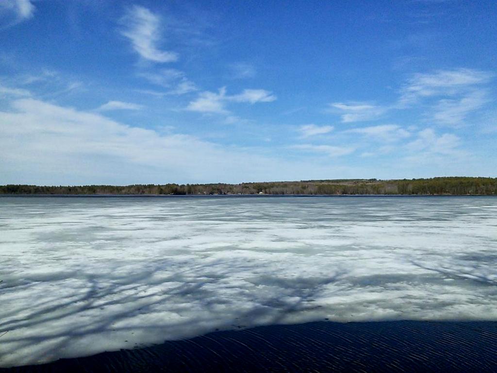
 Jack Holland forwarded me a copy of a
 .jpg) I was pleased to see the Commissioner of the Department of Environmental Protection, Patricia Aho, recognize the Maine Volunteer Lakes Monitoring Program on her official blog. Jack Holland brought this to my attention the other day with the comment “I would agree with the “trained” statement, but question the “provided with equipment” statement. The Clary Lake Association has been a participating member of the VLMP since the very start of the program back in 1975. See our
I was pleased to see the Commissioner of the Department of Environmental Protection, Patricia Aho, recognize the Maine Volunteer Lakes Monitoring Program on her official blog. Jack Holland brought this to my attention the other day with the comment “I would agree with the “trained” statement, but question the “provided with equipment” statement. The Clary Lake Association has been a participating member of the VLMP since the very start of the program back in 1975. See our  David Chase has compiled a pretty cool video contrasting the water levels of Clary Lake between 1997 and 2013. He has posted it on the Clary Lake Association Google+ Community. He did it using a Google Earth flyover “tour.” Very impressive, and the comparison in water levels between then and now is stark. Thanks for sharing David!
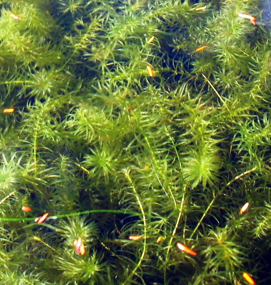
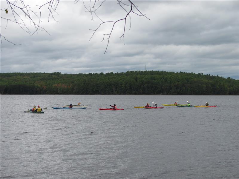
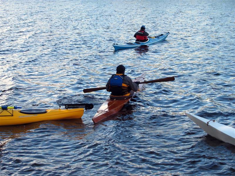
 Here’s an interesting news item. I got home this morning to find a page from the September 19th issue of the Lincoln County News sitting on my dining room table with a short news item on page 11A highlighted for my attention. Apparently the Pemaquid Paddlers (never heard of them before) are planning to descend on Clary Lake next week. I have no idea how or why they selected Clary Lake for their loon-commune experience or how many paddlers they’re expecting, or for that matter whether they’re aware of the low water conditions they’ll encounter in the channel- or the drained wetlands:
 The latest