 Back around the beginning of April I posted about how the Damariscotta Lake Watershed Association (DLWA) is gearing up to conduct a Watershed Survey. To kick it off they scheduled a workshop to train volunteers how to identify, describe, and characterize typical non-point sources of pollution. When I learned about the training I contacted Garrison Beck, Senior Program Manager at DLWA to see about sitting in on the training. He thought it was a fine idea. The workshop was scheduled for April 26th at the DLWA headquarters over on Damariscotta Lake.
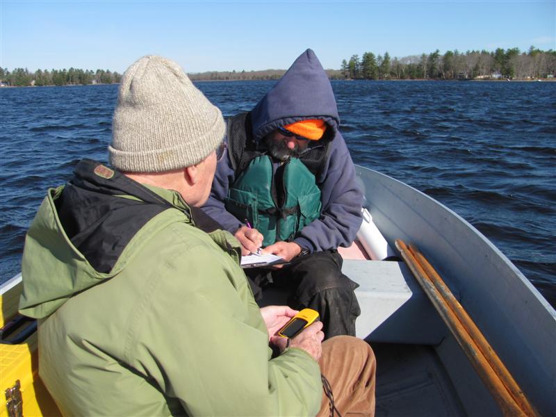
Yesterday Colin Caissie and I attended the training session. There were a couple of dozen people there including a number of technical folks from DEP and some other DLWA members who had been previously trained. It started at 9AM and we spent the first 2.5 hours being lectured to about types of erosion and typical mitigation techniques, and then we broke out into groups of 3-4 volunteers and a technical lead person and then headed out for 3+ hours of field work. We headed for home a little after 3 PM having.
A non-point-source (NPS) watershed survey is all about locating and categorizing soil erosion- type, size, severity, etc., and making recommendations for how to go about mitigating it. It was a totally worthwhile experience and I’m glad I went. I told Garrison that when/if I got a chance in the next month I’d come down and spend a few hours working on the survey. They need all the help they can get given the size of their task: Damariscotta Lake watershed is about 29,700 acres (46.5 square miles) compared to Clary Lake’s 6,272 acres (9.8 square miles) and they have THOUSANDS of lakefront properties to evaluate whereas we have 108. A daunting task. Their goal is to get the entire watershed surveyed by the end of May and they’re going to need a lot of help to meet that goal. I’ll let folks know if/when I decide to go down and help out in case anyone wants to go along for the ride and learn something about identifying, categorizing, and mitigating non-point source pollution sites.
I had hoped to learn more about phosphorus transport mechanisms. I guess I’m going to have to do some more research on my own. The Clary Lake Association conducted a watershed survey and we’re gearing up to conduct an update later this year. So far there are about 10 Association members signed up to work on the survey. If anyone wants to get involved in this initiative, send me an email or use our Contact Form.
 The first milestone of the Clary Lake Water Level Order was the May 1st submission of a Water Level Management Plan (WLMP). I was originally told by a DEP staff person that the WLMP was not going to be released until it had been “reviewed and approved” by the Department. Apparently I was misinformed as according to Project Manager Beth Callahan who I spoke to earlier today, the document is in deed “public” information. According to Beth Callahan, the Department will review the submission and issue a Procedural Order (of the sort we’re used to seeing) to the Service List with the Department findings. She didn’t have any idea when that was likely to happen.
 If you’re eagerly awaiting the water level management plan now that the deadline for its submission has passed, you’re not alone! Several people have asked “where’s the plan?” Careful reading of the specification for the Water Level Management Plan in the water level order suggests we should not hold our breath waiting for the plan. From
.jpg) The Maine Department of Environmental Protection has issued a DRAFT water level order for Branch Pond located in Palermo and China. There is, as usual, a 5 day comment period ending this coming May 5th. This is especially good news considering everyone thought that DEP would hold off on issuing the the Branch Pond water level order until the outcome of the appeal of the Clary Lake water level was known. Well, obviously, everyone thought wrong.
The Maine Department of Environmental Protection has issued a DRAFT water level order for Branch Pond located in Palermo and China. There is, as usual, a 5 day comment period ending this coming May 5th. This is especially good news considering everyone thought that DEP would hold off on issuing the the Branch Pond water level order until the outcome of the appeal of the Clary Lake water level was known. Well, obviously, everyone thought wrong.
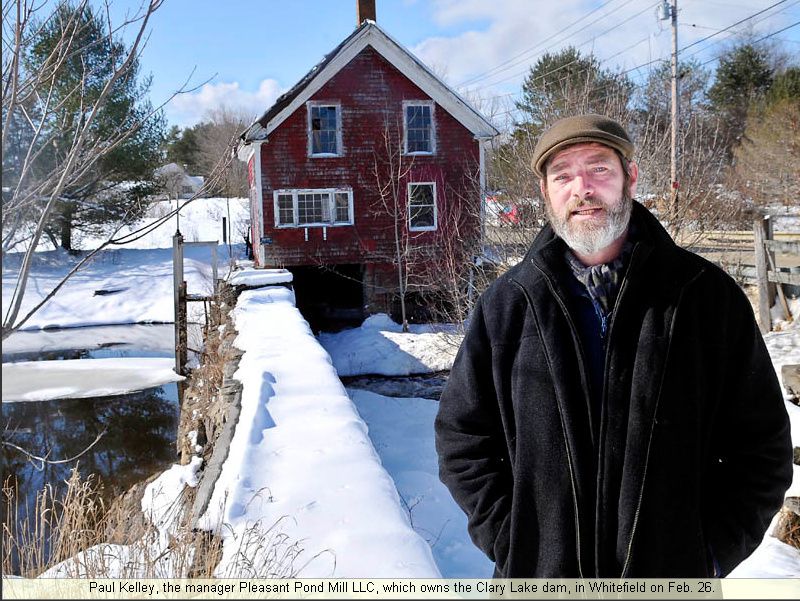
 Paul Kelley attended the Whitefield Selectman’s meeting last Tuesday night to see if the Town would be willing to assume responsibility for the operation of the Clary Lake Dam and its water control features in the event of an emergency. You may recall that finding a designee is was requirement “H” of the Water Level Management Plan called for in the
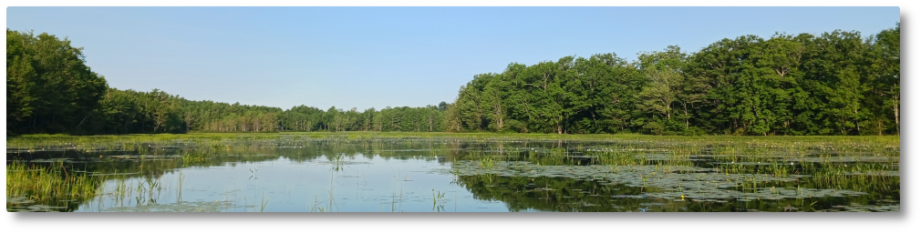
 David Hodsdon makes the official determination of ice-in and ice-out on Clary Lake and according to him, ice-out occurred sometime between 4 and 5 pm on April 14th. His criteria for ice-out is all the ice out of all the coves. He also notes that the loons were back on the 12th, a fact I can confirm from my own observations. Even though it seems like a late spring, a look at the
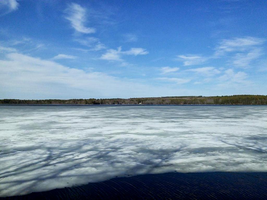
 I’ve been doing a little spring cleaning including a back-end system upgrade and reorganizing some file archives. Everything seems to be working. That said, if anyone comes across any broken document or picture links, please let me know! Use the
  Jack Holland forwarded me a copy of a
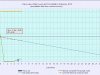
 The folks at
 The Attorney General’s office sent me a copy of an