The Whitefield Historical Society and the Jefferson Historical Society are putting on a program this coming Sunday, March 20th at the Whitefield Townhouse on Townhouse Road in Whitefield. Below is the cover illustration of the Whitefield Historical Society’s latest newsletter.
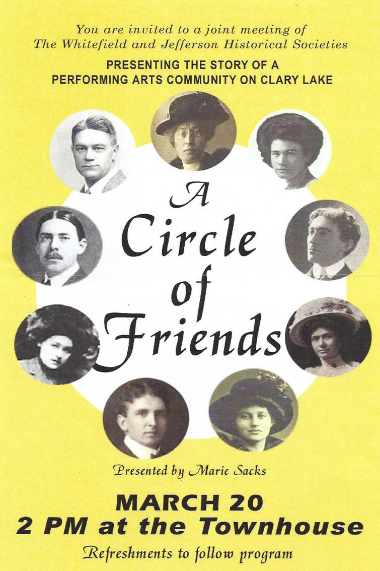
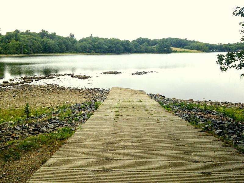
A performing arts community settled at the eastern end of Clary Lake beginning in the early 1900s. Clockwise from 12 o’clock: Ann Ward; Lucy Lee, a reader; Percy Hunt, baritone, and his wife, Katherine Ridgeway, a reader performed together on the Redpath Lyceum circuit; France King Ward, Crawford Peffer and his wife, Ella Harding, soprano; F. Morse Wemple and George Fergusson, baritones, who taught voice with Percy Hunt at the New England Conservatory. Mr. Peffer owned the New York and New England Redpath Lyceum and Chatauqua Circuits. Katherine Ridgeway and Ella Peffer went on to establish the Katherine Ridgeway Camp for Girls on the northern side of the lake. Descendants and people who knew them are encouraged to come and share their memories
George Fergusson, pictured above at 11 o’clock was my grandfather. He came to Maine and bought our property on Clary Lake in 1922. I well remember from my childhood days visiting with Percy Hunt and his sister Lucy Lee who lived across the road from the Highland Cemetery in a house now owned by Fasano, the Ward Sisters whose house and property on North Forty Lane is now owned by the Relyea family, and Morse Wemple whose property at the east end of Clary Lake was owned for many years by the Stickney family and is now owned by Glenn Bruce MacDonald. I never knew the Peffer family but understand their property was located just north of the Wemple property. The Robbins property on Clary Lake is part of the old Peffer place. They probably owned that nice red cape out in the field just up the hill from the Wemple place.
My sister and I have worked closely with Marie Sacks this past year to help her collect the information and materials she’ll be using in her presentation. I’m really looking forward to this!


 The
The 
 I’ve
I’ve 

.jpg) [dropcap]I[/dropcap] am pleased to announce that at a work session held earlier today the Legislature’s
[dropcap]I[/dropcap] am pleased to announce that at a work session held earlier today the Legislature’s  [dropcap]On[/dropcap] Tuesday PretiFlatherty attorneys filed in Superior Court an appeal of the Order issued by the Court back on January 25th approving the State’s Motion to Dismiss (see: “
 [dropcap]It’s[/dropcap] been over 2 weeks since the