 The Whitefield Selectmen have sent a letter to Assistant Attorney General Thomas Harnett, the person handling the Clary Lake water level order and its pending appeal filed by Paul Kelley in Lincoln County Superior Court. The letter urges the AAG to expedite the current mediation process and enforce any violations of the water level order that may be found to exist. It was sent by email to the Service List. It has also just been posted on the Town of Whitefield’s Facebook page. It’s short and sweet so I’ll copy here in its entirety:
Thomas Harnett
Assistant Attorney General
Department of the Attorney General
State House Station 6
Augusta, Maine 04333-006
Dear Mr. Harnett:
The Town of Whitefield would like to convey to you its continuing concern about the
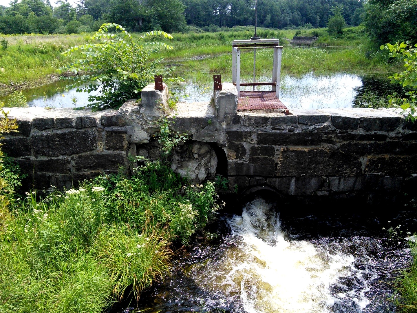
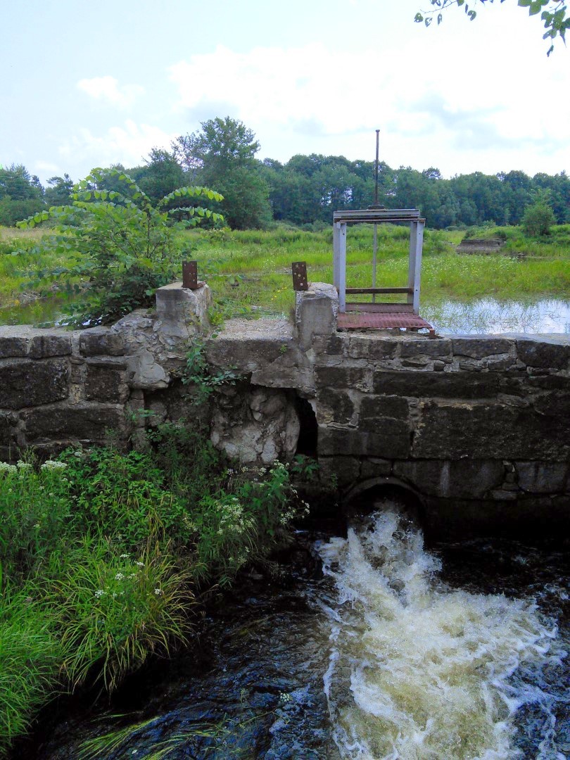
present state of water levels in Clary Lake. Since 2011, the lake level has been lowered and resulted in continuing and significant impacts to the environment and our community. Without going into details as they are well documented in the record, the low water level has adversely affected Clary Lake’s suitability for recreation, navigation and as a habitant for fish and other water dependent species. While the dam has been described by the owner as “breached”, it is in fact just damaged and reparable.
The Town is asking that your office actively use all means at its disposal to resolve
pending issues in order to restore Clary Lake water level to that which existed prior to 2011. In particular, your assistance in the expediting the current mediation process and enforcing any violations of the DEP’s water level order that may be found to exist would be appropriate and appreciated.
Thank you for your consideration and assistance.
Sincerely,
Aaron Miller
Administrative Assistant to the Select Board
Town of Whitefield
cc: Service List
“Damaged and reparable.” Nice they got that bit in there.
The Selectmen voted to send a letter last week at their regularly scheduled Select Board meeting. That meeting was covered by the Lincoln County News (see: Whitefield Selectmen to write State officials about Clary Lake). I greatly appreciate the Whitefield Selectmen taking this assertive step.
Here’s a link to the actual document:
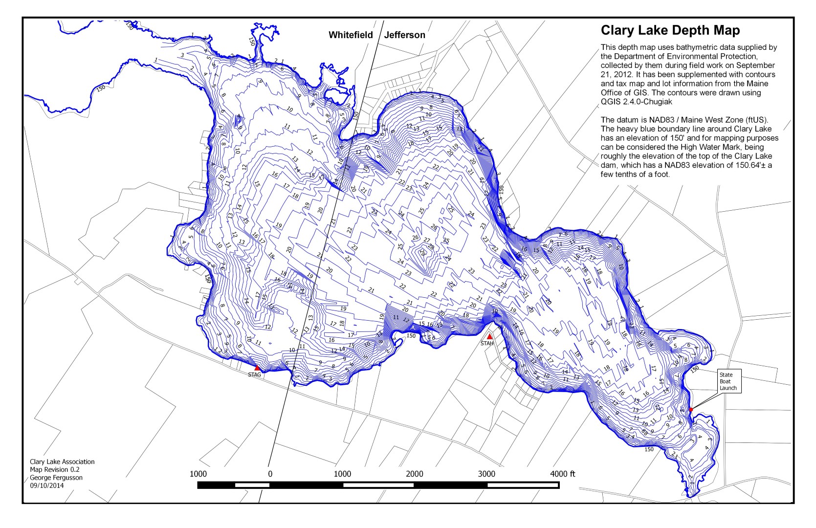
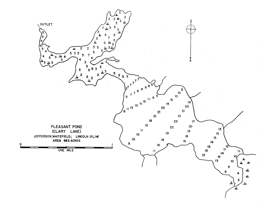
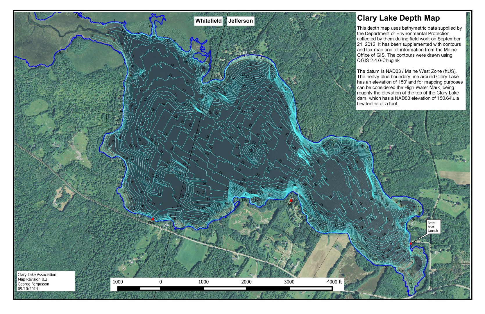 I’ve updated the recently released bathymetric chart with new contours using some additional data in the vicinity of the ledges at the northwest end of the lake and a few other rocks. The revised contour map now clearly shows both those ledges and the rock currently marked by a white buoy in the vicinity of the Whitefield/Jefferson town line near the north shore. Also, the 148′ and 146′ contours have been replaced with 1′ depth contours making this version of the chart more accurate in depicting the shallow water around the shoreline. I will, as time permits, further refine the underlying data.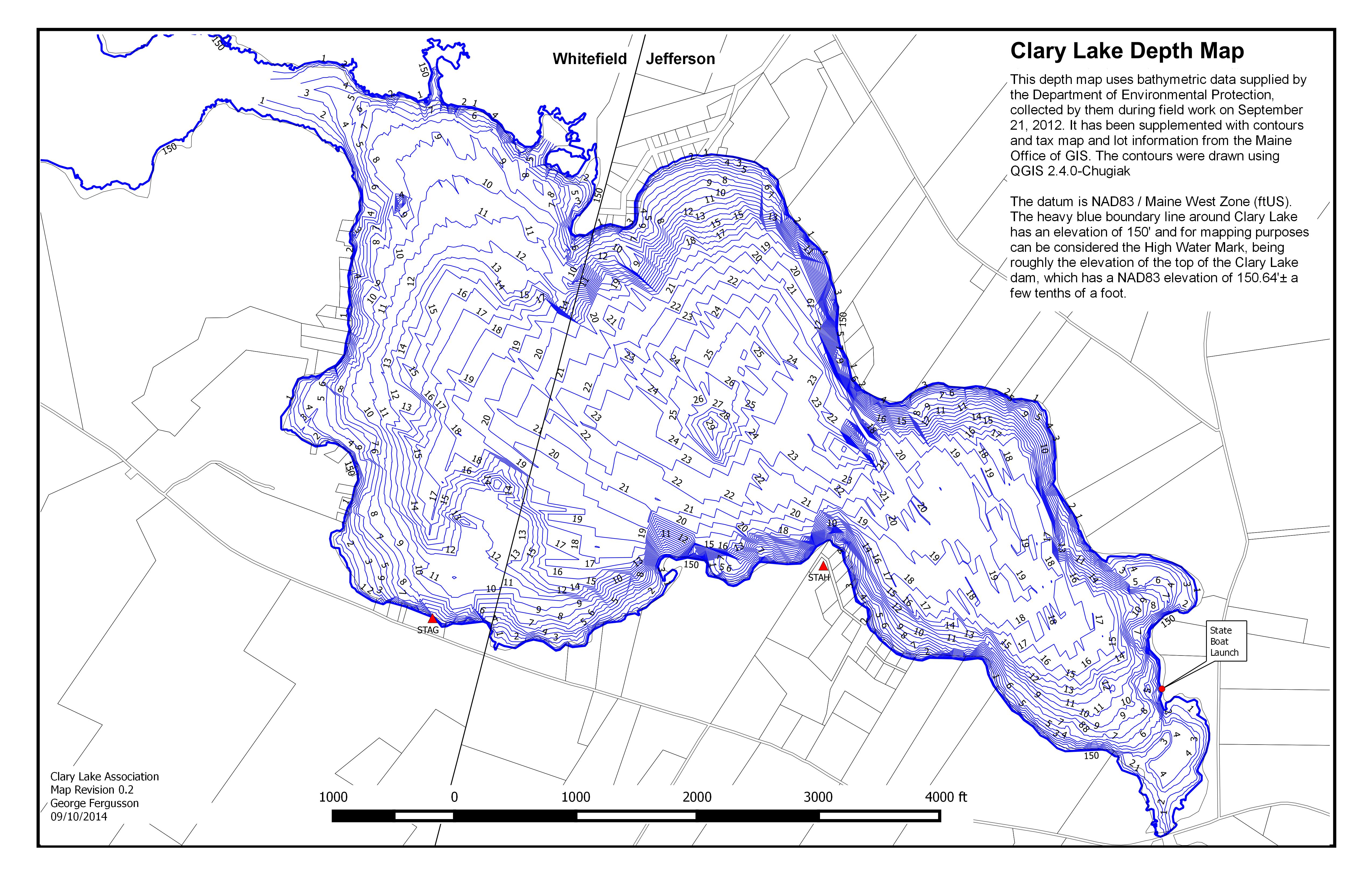
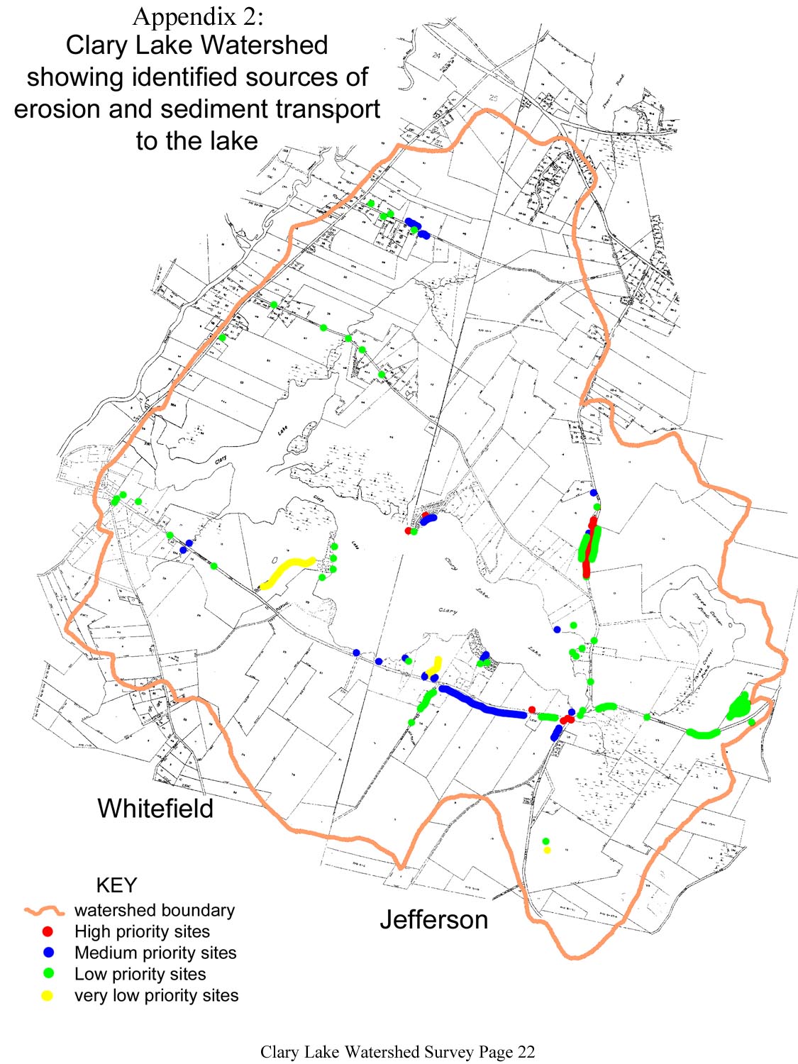
 Virtually all of the natural characteristics of a lake are influenced by the land area, or watershed, that drains to the lake. But human activities that alter the natural protective features of lake watersheds can result in significant degradation of water quality and aquatic habitat over time, unless conservation measures are undertaken to protect the lake. This workshop will cover basic information about the relationship between lakes and their watersheds, common threats to lake water quality from watershed development, and how to identify and resolve problems through the watershed survey process. We will begin with an inside discussion, followed by a field trip to a nearby lake watershed.Please bring a brown bag lunch.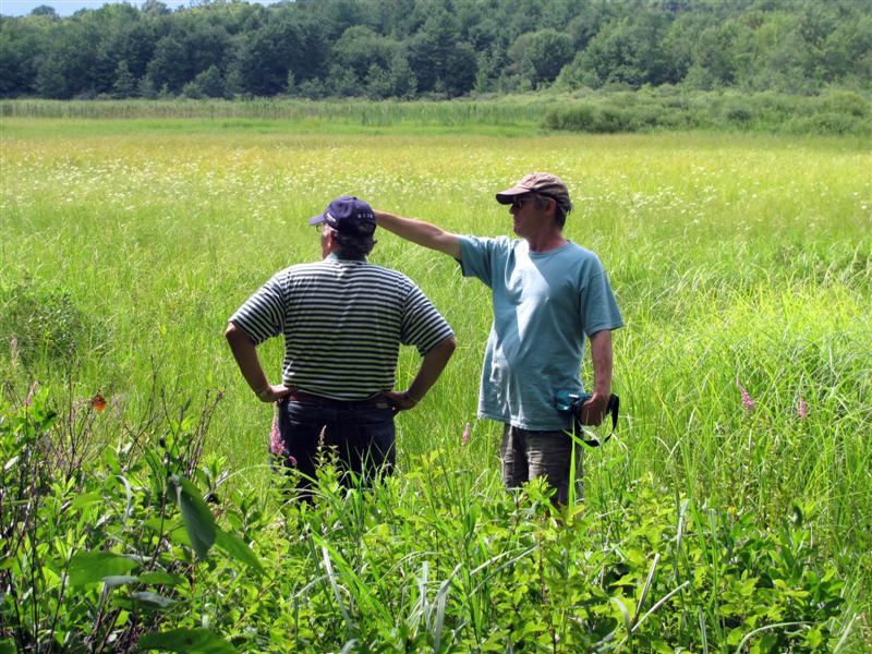

 Some of you might have noticed a change to the link structure in use on our website. The original “?page_id=266” and “?p=2243” links have been replaced with a human readable “post-name.” For the most part this will be transparent and not require any thought or action on your part. If you have links you’ve saved in your browser for favorite pages, they’ll still work, you’ll just be automagically redirected to the new link. For example, if you point your browser at:
.png) We had a good meeting of the Clary Lake Association yesterday, reasonably well attended though I had expected a somewhat larger turnout given how much we promoted the meeting. I remain somewhat chagrined that so many Clary Lake shore owners either aren’t interested in joining the Association or just can’t be bothered. I’m also surprised that some folks actually show up for the meetings, but are still unwilling to join! What’s up with that? The Clary Lake Association is
We had a good meeting of the Clary Lake Association yesterday, reasonably well attended though I had expected a somewhat larger turnout given how much we promoted the meeting. I remain somewhat chagrined that so many Clary Lake shore owners either aren’t interested in joining the Association or just can’t be bothered. I’m also surprised that some folks actually show up for the meetings, but are still unwilling to join! What’s up with that? The Clary Lake Association is  The Clary Lake Association Annual meeting is
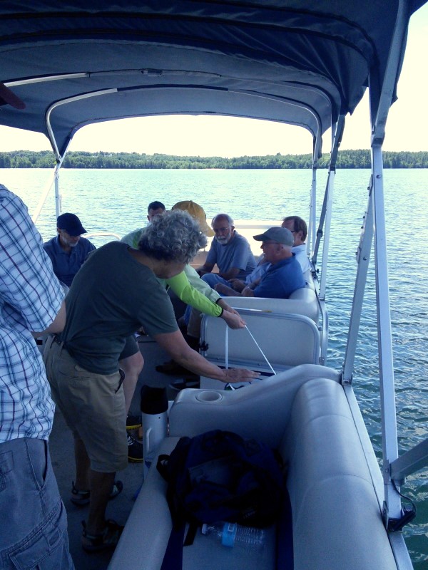
  Jack Holland and I performed out bi-monthly water quality monitoring boat trip this morning and obtained a secchi disk reading of 1.80 meters (5.9′) indicative of an algae bloom in progress. This does not come as a huge surprise since we’ve entered a bloom state about this time of year for the past 4+ years. Still, it was an unpleasant discovery. I’ve posted today’s data on the
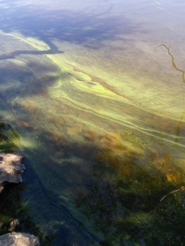
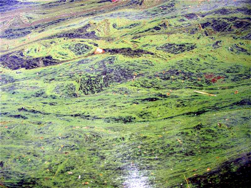
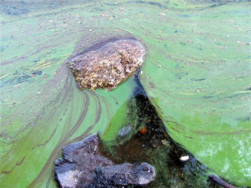
  Algae blooms are caused by the out-of-control growth of blue-green algae known as cyanobacteria. The most common cyanobacteria is Anabena, shown at left. Algae feeds primarily on phosphorus washed into the lake by runoff and released from bottom sediments in low-oxygen conditions. Undoubtedly the 7.65″ of rain and the resulting runoff we received in July contributed to this bloom, but the lower water levels resulting in reduced lake volume and sediments exposed to wave action and erosion certainly didn’t help any. Here are some pictures of what we can look forward to in about 2 weeks:
 Special Condition #4 of the
 There was an article in yesterday’s Kennebec Journal by staff writer Paul Koenig providing a welcome update on the current circumstances surrounding the Clary Lake water level order. It is nice to see the KJ keeping this issue before the public, rather than letting it fade into obscurity. Paul Kelley was quoted as saying that mediation is to start at the end of this month and that the process is likely to extend into August: “My hope is that all the parties see that the best solution is no longer to fight this but to try to see if there is some constructive solution.” Nonetheless, the spokeswoman for the department said the DEP still expects the dam owner to begin maintaining the higher water levels by Oct. 1. Here’s a link to the article:
 Stephen and Christine Coombs, owners of Branch Mills Flower & Grain and the dam on Branch Pond have finally responded to the recently issued Branch Pond water level order. Their stance is angry and defiant: they declare the order to be illegal and therefore refuse the order in its entirety. They list a number of reasons for this decision, many of which we’re familiar with, having already heard them from Paul Kelley: